
1
/
of
1
Used Book
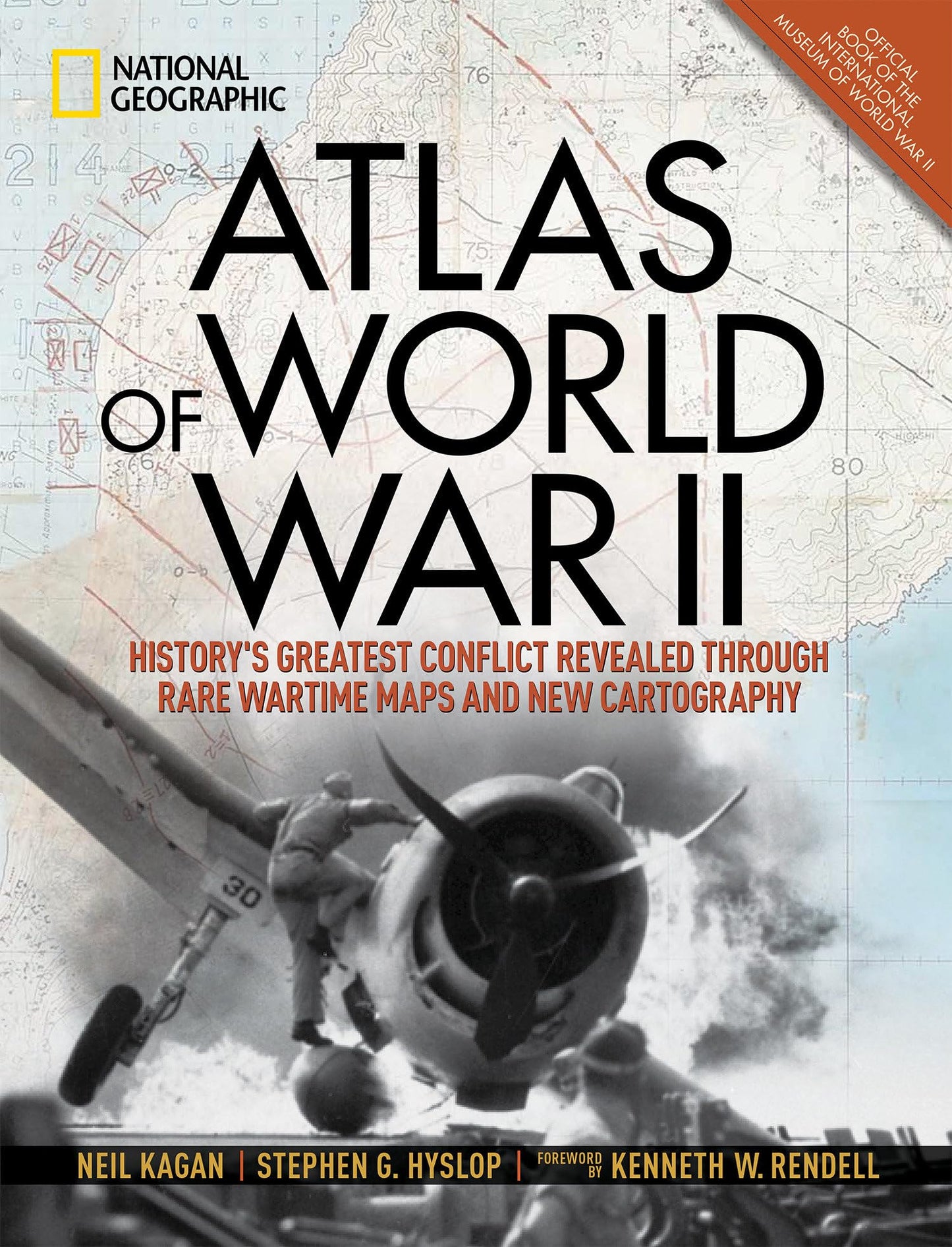
Atlas of World War II: History's Greatest Conflict Revealed Through Rare Wartime Maps and New Cartography
Atlas of World War II: History's Greatest Conflict Revealed Through Rare Wartime Maps and New Cartography
Regular price
$14.53 USD
Regular price
Sale price
$14.53 USD
Unit price
/
per
Shipping calculated at checkout.
$1.99 shipping per item - Free shipping for orders over $25
Couldn't load pickup availability
This definitive, lavishly illustrated book from National Geographic features an astonishing array of vintage and newly created maps, rare photographs, covert documents, and eyewitness accounts that illuminate the world’s greatest conflict.
This magnificent atlas delves into the cartographic history of WWII: naval, land, and aerial attacks from the invasion of Poland to Pearl Harbor and the Battle of the Bulge. Rare maps include a detailed Germany & Approaches map used by Allied forces in the final stages of the war, full large-scale wartime maps of the world used by President Roosevelt, and crucial Pacific theater maps used by B-17 pilots.
Satellite data renders terrain as never before seen, highlighting countries and continents in stunning detail to include the towns, cities, provinces and transportation roads for a pinpoint-accurate depiction of army movements and alliances. Gripping wartime stories from these hallowed fields of battle, along with photographs, sketches, confidential documents, and artifacts color the rest of this timeless and informative book.
ASIN: 1426219717
VSKU: PKV.1426219717.G
Condition: Good
Author/Artist:Hyslop, Stephen G.
Binding: Hardcover
Note: Any images shown are stock photographs and product may differ from what is shown.
Condition Notes: A well-loved companion. Corners and cover might show a little wear, and you could find some notes or highlights. The dust jacket might be MIA, it might have been a library book and extras aren't guaranteed—but the story's all there!
ASIN: 1426219717
VSKU: PKV.1426219717.G
Condition: Good
Author/Artist:Hyslop, Stephen G.
Binding: Hardcover
Note: Any images shown are stock photographs and product may differ from what is shown.
Condition Notes: A well-loved companion. Corners and cover might show a little wear, and you could find some notes or highlights. The dust jacket might be MIA, it might have been a library book and extras aren't guaranteed—but the story's all there!
Share